By BRENT MARTIN
St. Joseph Post
An ongoing, in-depth study of the Missouri River being
conducted by the U.S. Army Corps of Engineers seeks to learn from past floods
to prevent the massive, highly destructive floods such as seen in 1993, 2011,
and 2019.
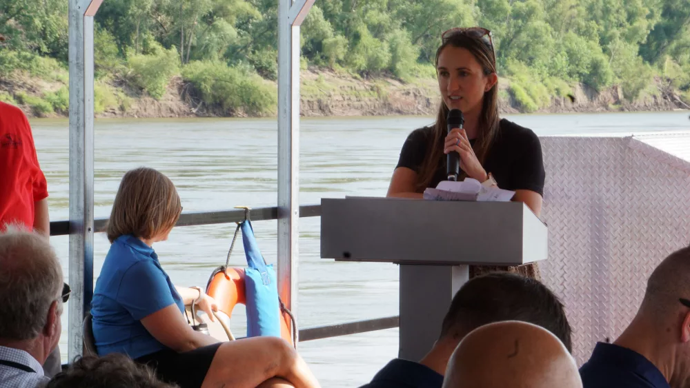
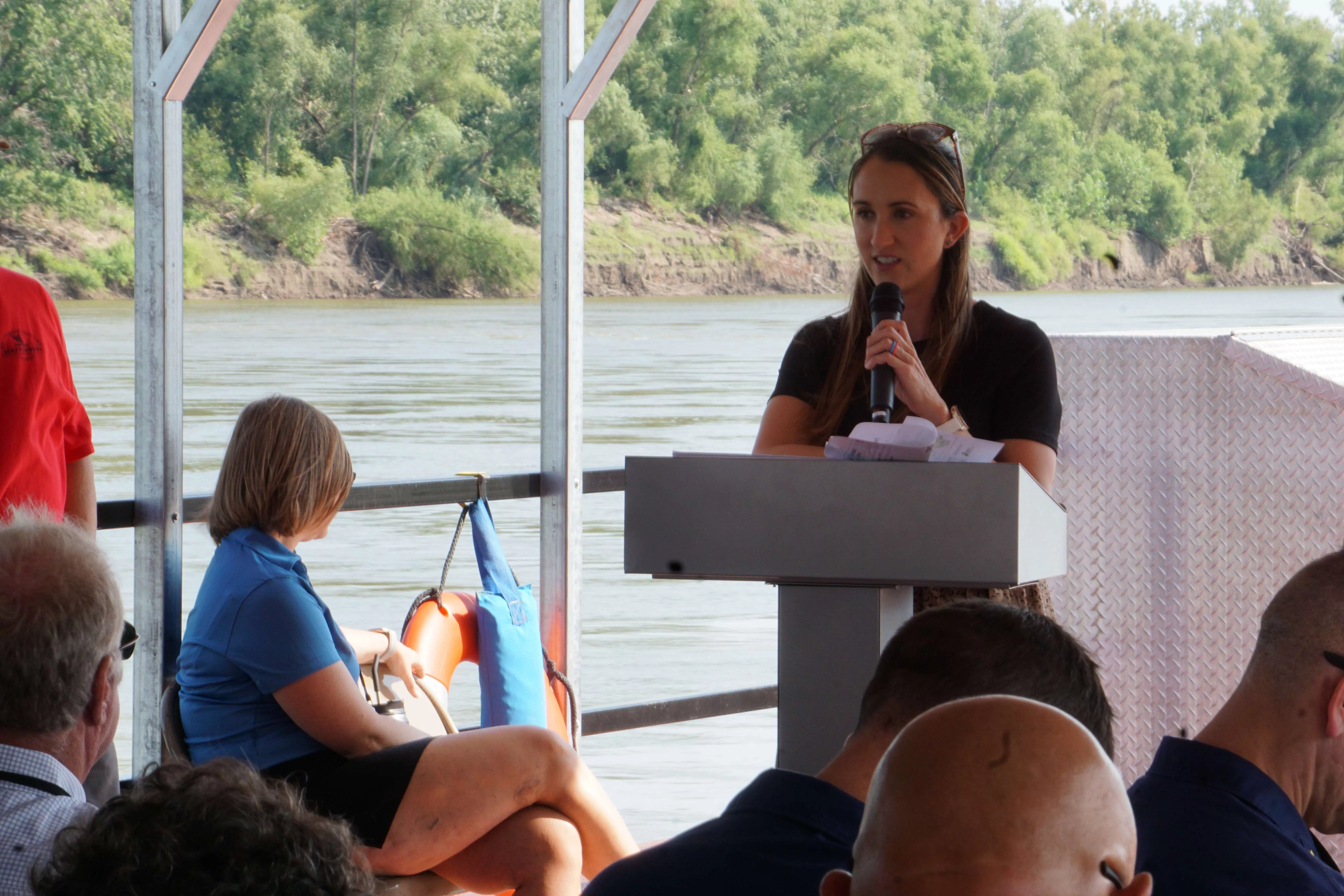
Senior Program Manager Colleen Roberts of the Lower Missouri
River Study says the study is an outgrowth of the governors of Missouri,
Kansas, Nebraska, and Iowa demanding changes in wake of the 2019 flood.
Missouri officials have pressured the Corps of Engineers to
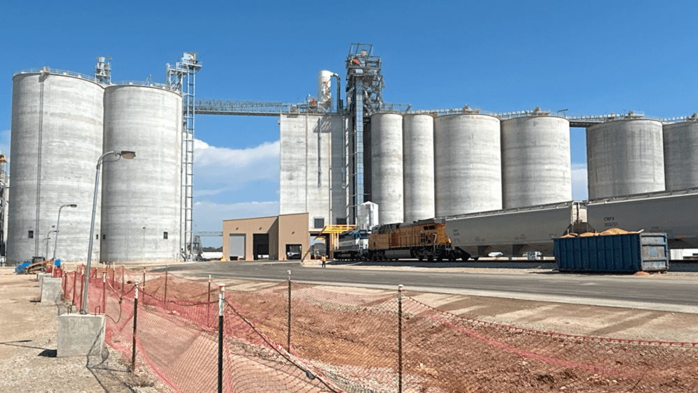
more closely examine the recurring flooding in Holt County.
“I mean, Holt County is an area of repeated damage, like they
have been hard hit multiple times,” Roberts tells KFEQ/St. Joseph Post during an Army Corps of Engineers tour of the Missouri River. “The
levees up there (offer) varying levels of protection. So, it’s not consistent
there. There are pinch points or choke points where the water really constricts
that we need to be able to give the river again more room to breathe; just
being able to get the levels of performance a little more consistent there.”
A spin off study is focusing on Holt County as well as both
sides of the Missouri River a bit farther north in Atchison County, Missouri
and Nemaha County, Nebraska. That area has been hit hard by flooding in the
past as well.
“Very similar to Holt County,” according to Roberts. “It’s
just a hard-hit area. They did a levee setback there in L-550 (Levee 550) after
2019. That was a really successful project. I think a lot of our study areas
want to be able to emulate what they did there where they had the community
behind it.”
Special attention will also be given to the Missouri River at
Jefferson City and Brunswick.
Missouri state officials have pointed to the so-called “pinch
points” or “choke points,” areas of the Missouri River that seem to not just be
more vulnerable to flooding, but practically invite flooding when the river is
high.
Roberts says the study is even reviewing how some flood
prevention efforts have proven counter-productive.
“As people have continued to build up levees, it’s constricted
the river more,” Roberts says. “And there are bridges and other things, it’s
not just the levees, but continuing to build the levees higher on the bank of
the river is just adding to some of those pinch points.”
The system-wide study began in wake of the 2019 flood. The
federal government authorized it in 2020. The four states of Missouri, Kansas,
Nebraska, and Iowa formed a working group to push for a complete review of the
Missouri River from Sioux City, Iowa to its mouth in St. Louis as well as how
the Army Corps of Engineers manages the river.
Roberts says the focus and cooperation among the four states
and the federal government is unprecedented. It is the first comprehensive
study of the Missouri River since the Pick-Sloan Act authorized building the
levees in the 1950s.
Roberts hopes to recommend both policy changes and structural
changes in the report. A draft report is expected next week with completion of
the study expected by 2026.

You can follow Brent on X @GBrentKFEQ and St. Joseph Post @StJosephPost.